
2017 Map of Tin Can Hill
USGS Topo · Published 2017About this map
Tin Can Hill stands as the primary landmark in this section of Petroleum County, where the topography is defined by an intricate network of erosional drainages. The landscape is carved by numerous namesake coulees, including Camelbratten Coulee, Raundal Coulee, and Biggett Coulee, which channel intermittent water toward larger systems like Blood Cr and Cottonwood Cr. Human presence is mapped through a sparse network of ranch roads such as Tincan Hill Rd and Gilfeather Rd, which navigate the rises and depressions of the terrain. Essential water sources like Kettle Spring highlight the critical role of specific hydrologic points in this semi-arid region. The map provides a detailed view of the township and range system, showing the surveyed boundaries of t17n r28e, t17n r29e, t16n r28e, and t16n r29e during the mid-2010s.
Find a feature on this map
17 named features on this map. Tap any name to fly to it.
Don’t see what you’re looking for? This feature index may not catch every label — zoom into the map to look around manually.
Map Details
Editions of this 2017 Tin Can Hill Map
This is the sole edition of this map. No revisions or reprints were ever made.
Other maps of this area
1954 · Jordan
USGS Topo · 1:250,000

1954 · Lewistown
USGS Topo · 1:250,000
1956 · Jordan
USGS Topo · 1:250,000
1958 · Jordan
USGS Topo · 1:250,000

1959 · Lewistown
USGS Topo · 1:250,000
1964 · Jordan
USGS Topo · 1:250,000
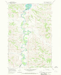
1967 · Nelson Coulee
USGS Topo · 1:24,000
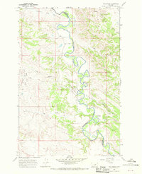
1967 · Fail Ranch
USGS Topo · 1:24,000
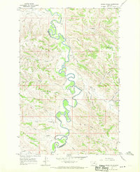
1967 · Bridge Coulee
USGS Topo · 1:24,000
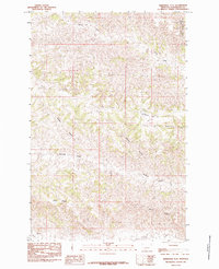
1985 · Kirkendal Flat
USGS Topo · 1:24,000