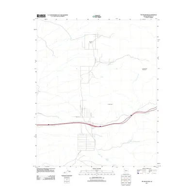
2011 Map of Tin Mountain
USGS Topo · Published 2011About this map
Tin Mountain and the Cottonwood Mountains dominate this Mohave County landscape, where arid terrain is punctuated by vital water sources like Faculty Springs and Mesquite Thicket Spring. The 2011 survey reveals a sparse network of roads, including Silver Springs Rd and Knight Creek Rd, which navigate the drainages of Cottonwood Creek and Knight Creek. These corridors and the presence of Frontage Rd suggest the area's role as a transit path through the high desert. Local landmarks such as Pyramid Rock provide clear navigational markers in a region where the natural topography remains the primary feature, relatively undisturbed by dense settlement. The map captures the alignment of modern infrastructure, such as the Powerline Rd, as it cuts across the traditional drainages of Willow Creek.
Find a feature on this map
14 named features on this map. Tap any name to fly to it.
Don’t see what you’re looking for? This feature index may not catch every label — zoom into the map to look around manually.
Map Details
Editions of this 2011 Tin Mountain Map
This is the sole edition of this map. No revisions or reprints were ever made.
Other maps of this area
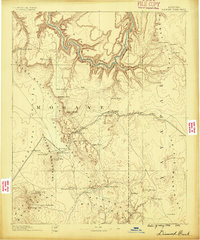
1886 · Diamond Creek
USGS Topo · 1:250,000
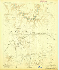
1892 · Diamond Creek
USGS Topo · 1:250,000
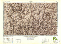
1948 · Williams
USGS Topo · 1:250,000
1954 · Williams
USGS Topo · 1:250,000
1956 · Williams
USGS Topo · 1:250,000
1960 · Williams
USGS Topo · 1:250,000
1961 · Williams
USGS Topo · 1:250,000
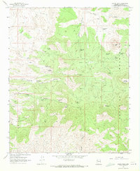
1968 · Austin Peak
USGS Topo · 1:24,000
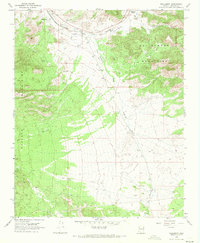
1968 · Hackberry
USGS Topo · 1:24,000
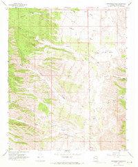
1968 · Bottleneck Wash
USGS Topo · 1:24,000