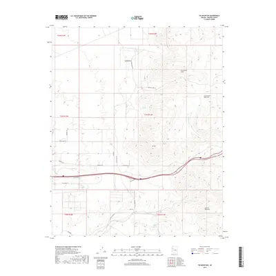
2018 Map of Tin Mountain
USGS Topo · Published 2018About this map
Tin Mtn stands as a central topographic anchor within this northern Arizona landscape, where the high elevations of the Cottonwood Mountains meet the Aquarius Mountains. The terrain is defined by dramatic vertical relief, notably the sheer Cottonwood Cliffs and the distinctive Pyramid Rock to the north. These features overlook a complex drainage system including Cottonwood Creek, Knight Creek, and Willow Cr, which have historically dictated the placement of early routes through this territory.
Find a feature on this map
32 named features on this map. Tap any name to fly to it.
Don’t see what you’re looking for? This feature index may not catch every label — zoom into the map to look around manually.
Map Details
Editions of this 2018 Tin Mountain Map
This is the sole edition of this map. No revisions or reprints were ever made.
Other maps of this area
1886 · Diamond Creek
USGS Topo · 1:250,000
1892 · Diamond Creek
USGS Topo · 1:250,000
1948 · Williams
USGS Topo · 1:250,000
1954 · Williams
USGS Topo · 1:250,000
1956 · Williams
USGS Topo · 1:250,000
1960 · Williams
USGS Topo · 1:250,000
1961 · Williams
USGS Topo · 1:250,000
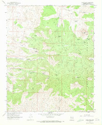
1968 · Austin Peak
USGS Topo · 1:24,000
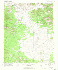
1968 · Hackberry
USGS Topo · 1:24,000
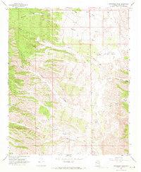
1968 · Bottleneck Wash
USGS Topo · 1:24,000