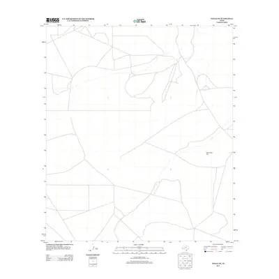
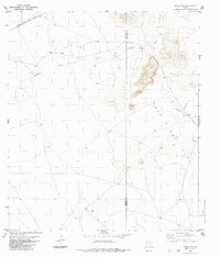
2012 Map of Tinaja NE
USGS Topo · Published 2012About this map
Presidio County's arid high-desert landscape is represented in this 2012 survey, which documents a sparsely developed area of West Texas. The quadrangle is characterized primarily by ranch roads and natural drainage patterns that navigate the open terrain. A primary landmark of this region is One O One Flat, a significant expanse of level ground that reflects the local topographic character. This map serves as a record of the modern road network and geographic markers in a remote corner of the state, providing precise positioning of ephemeral watercourses and livestock-related infrastructure essential to the area's ranching economy.
Find a feature on this map
1 named feature on this map. Tap any name to fly to it.
Don’t see what you’re looking for? This feature index may not catch every label — zoom into the map to look around manually.
Map Details
Editions of this 2012 Tinaja NE Map
This is the sole edition of this map. No revisions or reprints were ever made.
Other maps of this area
1895 · Alpine
USGS Topo · 1:125,000

1954 · Fort Stockton
USGS Topo · 1:250,000

1958 · Fort Stockton
USGS Topo · 1:250,000
1972 · Paisano
USGS Topo · 1:24,000
1972 · Nopal
USGS Topo · 1:24,000
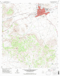
1972 · Alpine South
USGS Topo · 1:24,000
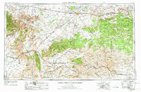
1973 · Fort Stockton
USGS Topo · 1:250,000
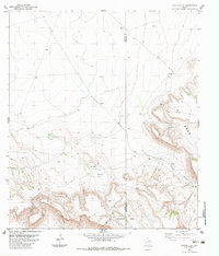
1983 · Cactus Flat
USGS Topo · 1:24,000
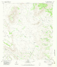
1983 · Goat Mountain
USGS Topo · 1:24,000
1983 · Tinaja NE
USGS Topo · 1:24,000