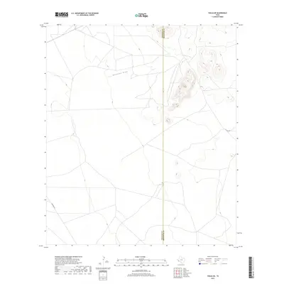
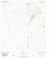
2019 Map of Tinaja NE
USGS Topo · Published 2019About this map
Antelope Draw winds through this arid expanse of the Trans-Pecos, providing a primary drainage feature for the high desert terrain. The landscape is defined by its isolation and the jurisdictional boundary between Presidio and Brewster counties, which bisects the eastern half of the quadrangle. Transport through this sparse region relies on unpaved routes like Escondido Rd in the southwest and 101 Ranch Rd to the east. This U.S. Geological Survey topographic study illustrates a modern view of the high-elevation basin and range country, where elevation contours reveal a series of isolated peaks and ridges rising sharply from the desert floor. The scarcity of named settlements or permanent structures emphasizes the preserved, open-range character of the contemporary Big Bend region.
Find a feature on this map
4 named features on this map. Tap any name to fly to it.
Don’t see what you’re looking for? This feature index may not catch every label — zoom into the map to look around manually.
Map Details
Editions of this 2019 Tinaja NE Map
This is the sole edition of this map. No revisions or reprints were ever made.
Other maps of this area
1895 · Alpine
USGS Topo · 1:125,000

1954 · Fort Stockton
USGS Topo · 1:250,000

1958 · Fort Stockton
USGS Topo · 1:250,000
1972 · Paisano
USGS Topo · 1:24,000
1972 · Nopal
USGS Topo · 1:24,000
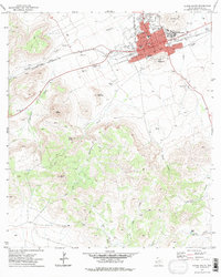
1972 · Alpine South
USGS Topo · 1:24,000
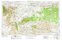
1973 · Fort Stockton
USGS Topo · 1:250,000
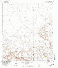
1983 · Cactus Flat
USGS Topo · 1:24,000
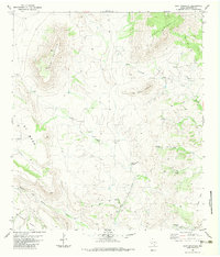
1983 · Goat Mountain
USGS Topo · 1:24,000
1983 · Tinaja NE
USGS Topo · 1:24,000