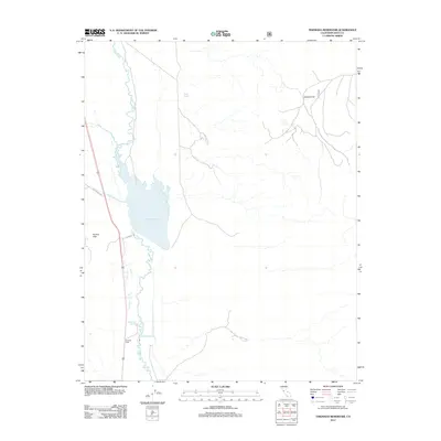
2012 Map of Tinemaha Reservoir
USGS Topo · Published 2012About this map
Owens River flows through the heart of this Inyo County landscape, feeding into the expansive Tinemaha Reservoir. This early 21st-century survey documents a vital water management corridor where the river intersects with local topography, including the Poverty Hills to the west and the broad expanse of Harkless Flat to the northeast. Several natural water sources are mapped in detail, such as Mule Spring and the dual outlets of Big Seeley Spring and Little Seeley Spring near the southern boundary. Small-scale landmarks like Charlies Butte provide vertical relief in an area primarily defined by its riparian network and access routes like Fish Springs Rd and Elna Rd, which skirt the western edge of the reservoir basin.
Find a feature on this map
11 named features on this map. Tap any name to fly to it.
Don’t see what you’re looking for? This feature index may not catch every label — zoom into the map to look around manually.
Map Details
Editions of this 2012 Tinemaha Reservoir Map
This is the sole edition of this map. No revisions or reprints were ever made.
Other maps of this area
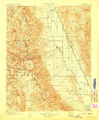
1907 · Mt. Whitney
USGS Topo · 1:125,000
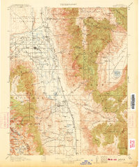
1913 · Bishop
USGS Topo · 1:125,000
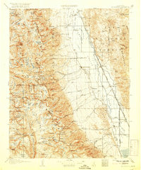
1919 · Mt. Whitney
USGS Topo · 1:125,000
1937 · Mt. Whitney
USGS Topo · 1:125,000

1947 · Mariposa
USGS Topo · 1:250,000
1948 · Fresno
USGS Topo · 1:250,000

1948 · Mariposa
USGS Topo · 1:250,000
1950 · Big Pine
USGS Topo · 1:62,500
1951 · Waucoba Mtn.
USGS Topo · 1:62,500
1951 · Independence
USGS Topo · 1:62,500