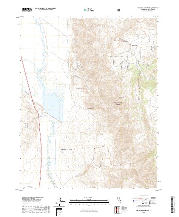
2021 Map of Tinemaha Reservoir
USGS Topo · Published 2021About this map
Tinemaha Reservoir dominates the floor of the Owens Valley in this detailed survey, where the Owens River is joined by the seasonal flow of Tinemaha Cr. The landscape is a study in hydrological contrast, featuring the concentrated waters of the reservoir alongside desert springs such as Big Seeley Spring and Mule Spring. To the west, the Poverty Hills rise abruptly from the valley floor, while the eastern horizon is defined by the massive slopes of the Inyo Mountains and the White-Inyo Range. This document highlights the remote recreational and utility infrastructure of the Inyo National Forest, including the winding path of Old Hwy 395 and high-altitude backcountry routes like the 35e413 Trl and the Harkless Flat Spur that lead into the arid expanse of Harkless Flat.
Find a feature on this map
27 named features on this map. Tap any name to fly to it.
Don’t see what you’re looking for? This feature index may not catch every label — zoom into the map to look around manually.
Map Details
Editions of this 2021 Tinemaha Reservoir Map
This is the sole edition of this map. No revisions or reprints were ever made.
Other maps of this area

1907 · Mt. Whitney
USGS Topo · 1:125,000

1913 · Bishop
USGS Topo · 1:125,000

1919 · Mt. Whitney
USGS Topo · 1:125,000

1937 · Mt. Whitney
USGS Topo · 1:125,000

1947 · Mariposa
USGS Topo · 1:250,000

1948 · Fresno
USGS Topo · 1:250,000

1948 · Mariposa
USGS Topo · 1:250,000

1950 · Big Pine
USGS Topo · 1:62,500

1951 · Waucoba Mtn.
USGS Topo · 1:62,500

1951 · Independence
USGS Topo · 1:62,500