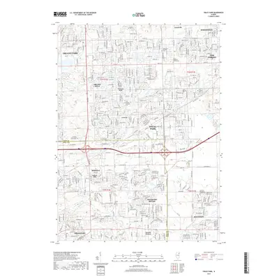
2018 Map of Tinley Park
USGS Topo · Published 2018About this map
Tinley Park and Orland Park anchor this modern-era study of the suburban expansion along the Cook and Will County line. The map illustrates a densely woven network of residential developments and institutional campuses, including the St. Xavier Univ and Lewis University satellite locations. Despite the contemporary grid of streets like W 157th St and Vollmer Rd, the landscape preserves many early pioneer landmarks. Numerous historical burial grounds, such as the Old German Methodist Cem and Hickory Cem, remain visible alongside the natural drainage patterns of Marley Cr and Midlothian Cr. This survey captures the transition between the established village centers of Mokena and Frankfort and the newer subdivisions of Frankfort Square and Arbury Hills.
Find a feature on this map
62 named features on this map. Tap any name to fly to it.
Don’t see what you’re looking for? This feature index may not catch every label — zoom into the map to look around manually.
Map Details
Editions of this 2018 Tinley Park Map
This is the sole edition of this map. No revisions or reprints were ever made.
Other maps of this area

1890 · Des Plaines
USGS Topo · 1:62,500

1892 · Calumet
USGS Topo · 1:62,500

1893 · Calumet
USGS Topo · 1:62,500

1894 · Des Plaines
USGS Topo · 1:62,500

1900 · Des Plaines
USGS Topo · 1:62,500

1900 · Calumet
USGS Topo · 1:62,500

1901 · Calumet
USGS Topo · 1:62,500

1901 · Des Plaines
USGS Topo · 1:62,500

1928 · Palos Park
USGS Topo · 1:24,000

1928 · Sag Bridge
USGS Topo · 1:24,000