
1954 Map of Tintic Junction
USGS Topo · Published 1956About this map
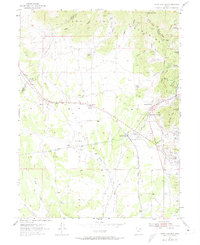
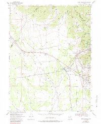
Mining operations and narrow canyons dominate the landscape of the East Tintic Mountains during the mid-1950s. The dense industrial activity around Silver City and Mammoth is visible through numerous workings such as the Swansea Mine, West Swansea Mine, and Pickle Mine. This period of transition is evidenced by the abandoned grain elevator at Knight and the presence of under pipe line construction cutting through the valley near Mammoth Junction.
Find a feature on this map
74 named features on this map. Tap any name to fly to it.
Don’t see what you’re looking for? This feature index may not catch every label — zoom into the map to look around manually.
Map Details
Editions of this 1954 Tintic Junction Map
3 editions found
Other maps of this area

1885 · Sevier Desert
USGS Topo · 1:250,000

1885 · Tooele Valley
USGS Topo · 1:250,000

1947 · Fivemile Pass
USGS Topo · 1:62,500

1947 · Allens Ranch
USGS Topo · 1:24,000

1947 · Boulter Peak
USGS Topo · 1:24,000

1949 · Eureka
USGS Topo · 1:24,000

1949 · Allens Ranch
USGS Topo · 1:24,000

1953 · Tooele
USGS Topo · 1:250,000

1953 · Delta
USGS Topo · 1:250,000

1954 · Mc Intyre
USGS Topo · 1:24,000