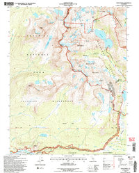
1994 Map of Tioga Pass
USGS Topo · Published 1997About this map
Tioga Pass stands as a high-elevation gateway through the Sierra Nevada, marking the divide where the Tuolumne River watershed meets the eastern slopes. During the mid-1990s, the landscape around Tuolumne Meadows was defined by its mix of glacial geology and alpine research, featuring the Carnegie Institute Experimental Station and the expansive Harvey Monroe Hall Research Natural Area. The map reveals the area's mining history near Bennetville, where the Great Sierra Mine and Hess Mine sit near the boundary of the Inyo National Forest. High peaks like Mount Conness shadow the Conness Glacier and a network of high-altitude lakes, including Saddlebag Lake and the Young Lakes. This record captures the intricate glacial topography of Moraine Flat and the popular backcountry landmarks of Lembert Dome and Soda Springs.
Find a feature on this map
71 named features on this map. Tap any name to fly to it.
Don’t see what you’re looking for? This feature index may not catch every label — zoom into the map to look around manually.
Map Details
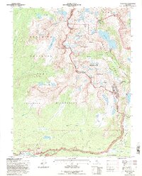
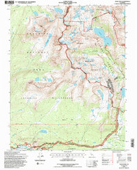
Editions of this 1994 Tioga Pass Map
3 editions found
Other maps of this area

1901 · Mt. Lyell
USGS Topo · 1:125,000

1909 · Bridgeport
USGS Topo · 1:125,000

1911 · Bridgeport
USGS Topo · 1:125,000

1920 · Bridgeport
USGS Topo · 1:125,000

1947 · Mariposa
USGS Topo · 1:250,000

1948 · Walker Lake
USGS Topo · 1:250,000

1948 · Mariposa
USGS Topo · 1:250,000

1953 · Mono Craters
USGS Topo · 1:62,500

1956 · Matterhorn Peak
USGS Topo · 1:62,500

1956 · Tuolumne Meadows
USGS Topo · 1:62,500