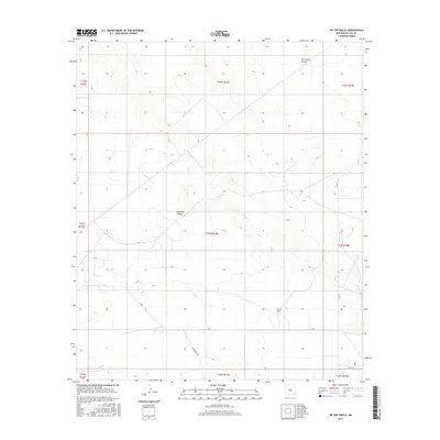
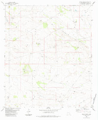
2017 Map of Tip Top Wells
USGS Topo · Published 2017About this map
Antelope Ridge and the broad depressions of the San Simon Swale characterize this high desert landscape in Lea County. The area is defined by its isolation and the vital importance of groundwater, centered on the historic namesake location of Tip Top Wells. This 2017 survey reveals a network of rural routes and oil field access roads, including Brininstool Rd, X-L Rd, and Co Rd 21, which cut across the vast section lines. The map highlights the intersection of public land management and industrial activity, documenting the precise township and range boundaries that have organized this part of the Permian Basin for generations.
Find a feature on this map
18 named features on this map. Tap any name to fly to it.
Don’t see what you’re looking for? This feature index may not catch every label — zoom into the map to look around manually.
Map Details
Editions of this 2017 Tip Top Wells Map
This is the sole edition of this map. No revisions or reprints were ever made.
Other maps of this area

1954 · Hobbs
USGS Topo · 1:250,000

1958 · Hobbs
USGS Topo · 1:250,000
1963 · Oil Center
USGS Topo · 1:62,500
1963 · Hat Mesa
USGS Topo · 1:62,500
1973 · Bell Lake
USGS Topo · 1:24,000
1973 · Paduca Breaks NW
USGS Topo · 1:24,000
1973 · Woodley Flat
USGS Topo · 1:24,000
1978 · Jal
USGS Topo · 1:100,000
1984 · Tip Top Wells
USGS Topo · 1:24,000
1984 · Grama Ridge
USGS Topo · 1:24,000