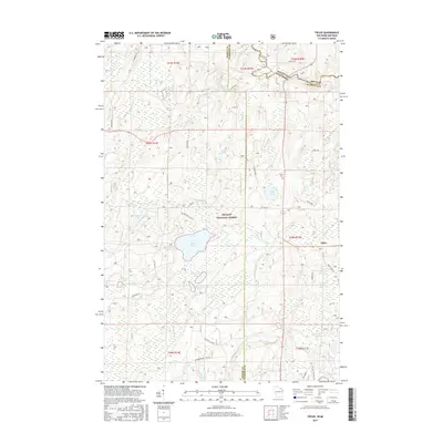
2015 Map of Tipler
USGS Topo · Published 2015About this map
The settlement of Tipler sits at the intersection of forest roads and historic section lines in this Northwoods landscape, where the Nicolet National Forest dominates the terrain. This area is defined by its complex hydrology, with numerous named lakes such as Stevens Lake, Lilypad Lake, and the pair of Wapoose Lake and Little Wapoose Lake. The Brule River marks the northern boundary between Wisconsin and Michigan, while the Pine River flows through the southern reaches, connecting a network of creeks including Meadowbrook Cr and Mainline Cr.
Find a feature on this map
57 named features on this map. Tap any name to fly to it.
Don’t see what you’re looking for? This feature index may not catch every label — zoom into the map to look around manually.
Map Details
Editions of this 2015 Tipler Map
This is the sole edition of this map. No revisions or reprints were ever made.
Other maps of this area

1898 · Iron River
USGS Topo · 1:62,500

1938 · Alvin
USGS Topo · 1:48,000

1939 · Long Lake
USGS Topo · 1:48,000

1944 · Iron River
USGS Topo · 1:24,000

1944 · Gaastra
USGS Topo · 1:24,000

1946 · Iron River
USGS Topo · 1:31,680

1946 · Gaastra
USGS Topo · 1:31,680

1946 · Alvin
USGS Topo · 1:48,000

1948 · Long Lake
USGS Topo · 1:48,000

1954 · Iron Mountain
USGS Topo · 1:250,000