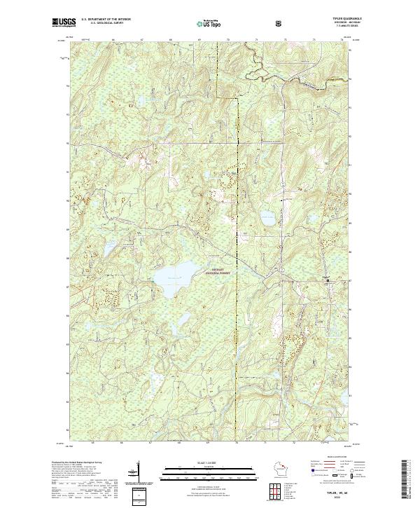
2022 Map of Tipler
USGS Topo · Published 2022About this map
The Nicolet National Forest encompasses this section of northern Wisconsin, where the headwaters and tributaries of several prominent rivers begin their descent. The terrain is defined by a dense network of glacial lakes and wetlands, including Stevens Lake, Little Wapogose Lake, and Killborn Lake. The Brule River forms a portion of the state boundary with Michigan at the northern edge, while the Pine River flows through the southern reaches, highlighting the region's importance for timber and recreation.
Find a feature on this map
53 named features on this map. Tap any name to fly to it.
Don’t see what you’re looking for? This feature index may not catch every label — zoom into the map to look around manually.
Map Details
Editions of this 2022 Tipler Map
This is the sole edition of this map. No revisions or reprints were ever made.
Other maps of this area

1898 · Iron River
USGS Topo · 1:62,500

1938 · Alvin
USGS Topo · 1:48,000

1939 · Long Lake
USGS Topo · 1:48,000

1944 · Iron River
USGS Topo · 1:24,000

1944 · Gaastra
USGS Topo · 1:24,000

1946 · Iron River
USGS Topo · 1:31,680

1946 · Gaastra
USGS Topo · 1:31,680

1946 · Alvin
USGS Topo · 1:48,000

1948 · Long Lake
USGS Topo · 1:48,000

1954 · Iron Mountain
USGS Topo · 1:250,000