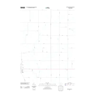
2013 Map of Tipton East
USGS Topo · Published 2013About this map
Tipton serves as the primary anchor for this rural Cedar County landscape, where the town's eastern residential streets and thoroughfares like Park Rd and Plum St transition into an expansive agricultural grid. The map reveals a network of homestead-connected roads, including the historically named Old Muscatine Rd and Red Star Rd, which navigate the gentle drainage of Sugar Creek and Rock Creek. Small named locales such as York Prairie, Gessford, and Roselle are dispersed among the section lines, representing the enduring rural settlement pattern of the Iowa interior.
Find a feature on this map
41 named features on this map. Tap any name to fly to it.
Don’t see what you’re looking for? This feature index may not catch every label — zoom into the map to look around manually.
Map Details
Editions of this 2013 Tipton East Map
This is the sole edition of this map. No revisions or reprints were ever made.
Other maps of this area
1889 · Tipton
USGS Topo · 1:62,500
1890 · Durant
USGS Topo · 1:62,500
1890 · Tipton
USGS Topo · 1:62,500
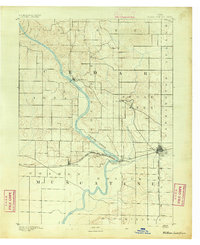
1891 · Wilton Junction
USGS Topo · 1:62,500
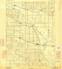
1892 · Wheatland
USGS Topo · 1:62,500
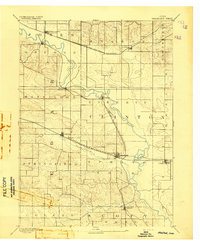
1894 · Wheatland
USGS Topo · 1:62,500
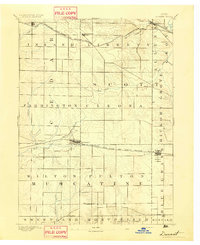
1894 · Durant
USGS Topo · 1:62,500
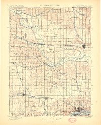
1901 · Rock Island
USGS Topo · 1:125,000
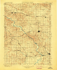
1901 · Stanwood
USGS Topo · 1:125,000
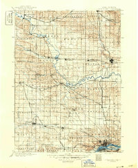
1910 · Rock Island
USGS Topo · 1:125,000