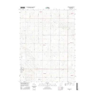
2015 Map of Tipton East
USGS Topo · Published 2015About this map
Tipton serves as the focal point for this eastern Iowa landscape, where the town grid meets a vast network of section-line roads and rolling agricultural land. The terrain is defined by the drainage patterns of Sugar Cr and Rock Cr, which carve subtle valleys across the prairie. For those researching local history or genealogy, several rural burial sites are documented across the townships, including York Prairie Cem, Virginia Grove Cem, and Wright Cem. These sites, along with the detailed road network including Co Hwy F18 and Co Hwy X60, illustrate the enduring layout of rural Cedar County. The map provides a clear view of the transition from the structured streets of Tipton, such as E 7th St and Walnut St, to the open farmsteads that characterize the surrounding region.
Find a feature on this map
47 named features on this map. Tap any name to fly to it.
Don’t see what you’re looking for? This feature index may not catch every label — zoom into the map to look around manually.
Map Details
Editions of this 2015 Tipton East Map
This is the sole edition of this map. No revisions or reprints were ever made.
Other maps of this area

1889 · Tipton
USGS Topo · 1:62,500

1890 · Durant
USGS Topo · 1:62,500

1890 · Tipton
USGS Topo · 1:62,500

1891 · Wilton Junction
USGS Topo · 1:62,500

1892 · Wheatland
USGS Topo · 1:62,500

1894 · Wheatland
USGS Topo · 1:62,500

1894 · Durant
USGS Topo · 1:62,500

1901 · Rock Island
USGS Topo · 1:125,000

1901 · Stanwood
USGS Topo · 1:125,000

1910 · Rock Island
USGS Topo · 1:125,000