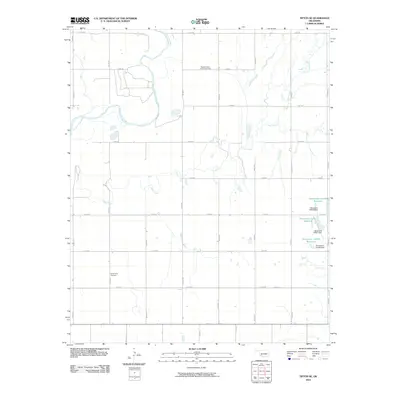
2010 Map of Tipton SE
USGS Topo · Published 2010About this map
The North Fork Red River meanders across this rural Oklahoma landscape in Jackson County, defining the drainage patterns that shaped local settlement. Agriculture and community life center on the section-line road network, where the Pleasant Valley Community Hall and Center View Cemetery serve as important landmarks for local history and genealogy. The terrain is further defined by the winding course of Otter Creek, which joins several smaller tributaries including Deadman Creek. In the eastern portion of the quadrangle, several named water management features such as Oknoname 141003 Reservoir and its associated dam illustrate the modern hydrologic modifications to this prairie environment. The map provides a clear record of the 2010 rural infrastructure, from named section roads like Rogers Rd to the scattered ponds and reservoirs used for local ranching and farming operations.
Find a feature on this map
28 named features on this map. Tap any name to fly to it.
Don’t see what you’re looking for? This feature index may not catch every label — zoom into the map to look around manually.
Map Details
Editions of this 2010 Tipton SE Map
This is the sole edition of this map. No revisions or reprints were ever made.
Other maps of this area

1950 · Snyder
USGS Topo · 1:62,500

1955 · Lawton
USGS Topo · 1:250,000

1956 · Manitou
USGS Topo · 1:24,000

1956 · Snyder
USGS Topo · 1:24,000

1956 · Snyder
USGS Topo · 1:62,500

1958 · Frederick
USGS Topo · 1:62,500

1964 · Tipton SE
USGS Topo · 1:24,000

1964 · Tipton
USGS Topo · 1:24,000

1964 · Headrick
USGS Topo · 1:24,000

1964 · Long Mountain
USGS Topo · 1:24,000