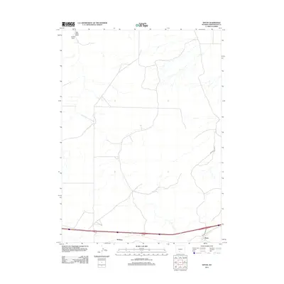
2012 Map of Tipton
USGS Topo · Published 2012About this map
Tipton and Robinson are the primary points of settlement in this arid section of Sweetwater County, situated along the critical interstate corridor. The landscape is defined by its drainage patterns, specifically the northward-reaching ephemeral watercourses of Salt Sage Draw and Smiley Draw. This 2012 survey documents a transition in infrastructure, where modern transport routes intersect with a network of access roads like the Blm Rd and Tipton N Rd Co Rd 4-67. The presence of Tipton Station Rd suggests the historical importance of the railroad siding that once facilitated movement through this high desert region. The map provides a clear look at the sparse development and the persistent influence of public land management routes on local travel.
Find a feature on this map
7 named features on this map. Tap any name to fly to it.
Don’t see what you’re looking for? This feature index may not catch every label — zoom into the map to look around manually.
Map Details
Editions of this 2012 Tipton Map
This is the sole edition of this map. No revisions or reprints were ever made.
Other maps of this area

1954 · Rock Springs
USGS Topo · 1:250,000

1958 · Rock Springs
USGS Topo · 1:250,000
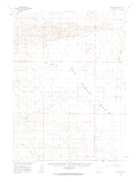
1960 · Red Lake
USGS Topo · 1:62,500
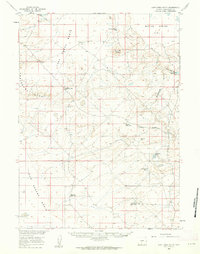
1960 · Lost Creek Butte
USGS Topo · 1:62,500

1962 · Rock Springs
USGS Topo · 1:250,000
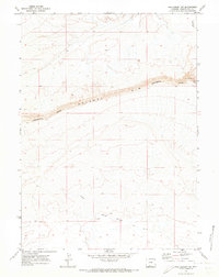
1970 · Red Desert SW
USGS Topo · 1:24,000
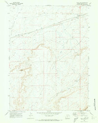
1970 · Table Rock
USGS Topo · 1:24,000
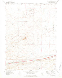
1970 · Red Desert NW
USGS Topo · 1:24,000
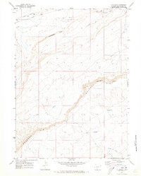
1970 · J O Dugway
USGS Topo · 1:24,000
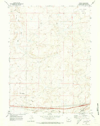
1970 · Tipton
USGS Topo · 1:24,000