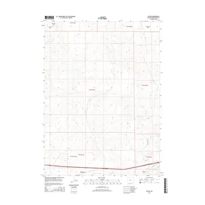
2015 Map of Tipton
USGS Topo · Published 2015About this map
The Continental Divide traverses the southern reaches of this high-desert landscape in Sweetwater County, marking a fundamental geographic boundary within the Red Desert Basin. The settlement of Tipton and the nearby locality of Robinson sit along the primary east-west transportation corridor that parallels the southern edge of the map. This area is defined by its drainage patterns, with Salt Sage Draw and Smiley Draw etching paths through the arid terrain. The map documents a sparse but vital infrastructure network, including Tipton North Rd and CR-67, which provide access to the vast interior of the basin. The survey illustrates how human activity in this part of Wyoming has historically clustered near the corridor at the base of the divide, while the northern sections remain largely defined by natural topographic features and land survey divisions.
Find a feature on this map
14 named features on this map. Tap any name to fly to it.
Don’t see what you’re looking for? This feature index may not catch every label — zoom into the map to look around manually.
Map Details
Editions of this 2015 Tipton Map
This is the sole edition of this map. No revisions or reprints were ever made.
Other maps of this area

1954 · Rock Springs
USGS Topo · 1:250,000

1958 · Rock Springs
USGS Topo · 1:250,000
1960 · Red Lake
USGS Topo · 1:62,500
1960 · Lost Creek Butte
USGS Topo · 1:62,500

1962 · Rock Springs
USGS Topo · 1:250,000
1970 · Red Desert SW
USGS Topo · 1:24,000
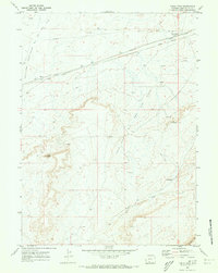
1970 · Table Rock
USGS Topo · 1:24,000
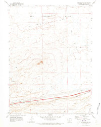
1970 · Red Desert NW
USGS Topo · 1:24,000
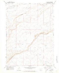
1970 · J O Dugway
USGS Topo · 1:24,000
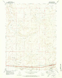
1970 · Tipton
USGS Topo · 1:24,000