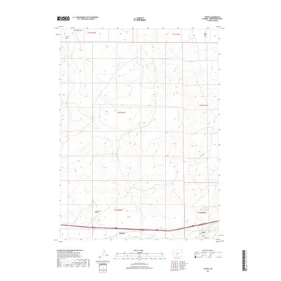
2017 Map of Tipton
USGS Topo · Published 2017About this map
The Continental Divide winds through this high desert portion of Sweetwater County, marking the hydrological crest of the continent. Historically significant as a transportation corridor, the southern portion of the map is dominated by the Union Pacific railroad and Interstate 80, which facilitate movement across the arid interior. The tiny settlements of Tipton and Robinson are located along these primary transit lines, serving as isolated outposts in a landscape defined by expansive drainage systems like Salt Sage Draw and Smiley Draw. To the northeast, the terrain slopes toward the Red Desert Basin, a region characterized by its lack of exterior drainage. The map reveals the intricate network of service roads, including Tipton Station Rd and various BLM roads, which provide access to this sparse but topographically complex environment during the early 21st century.
Find a feature on this map
16 named features on this map. Tap any name to fly to it.
Don’t see what you’re looking for? This feature index may not catch every label — zoom into the map to look around manually.
Map Details
Editions of this 2017 Tipton Map
This is the sole edition of this map. No revisions or reprints were ever made.
Other maps of this area

1954 · Rock Springs
USGS Topo · 1:250,000

1958 · Rock Springs
USGS Topo · 1:250,000
1960 · Red Lake
USGS Topo · 1:62,500
1960 · Lost Creek Butte
USGS Topo · 1:62,500

1962 · Rock Springs
USGS Topo · 1:250,000
1970 · Red Desert SW
USGS Topo · 1:24,000
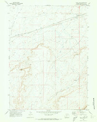
1970 · Table Rock
USGS Topo · 1:24,000
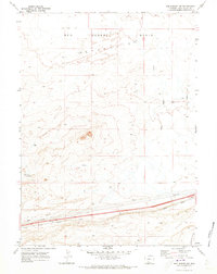
1970 · Red Desert NW
USGS Topo · 1:24,000
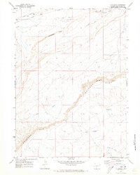
1970 · J O Dugway
USGS Topo · 1:24,000
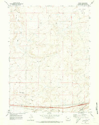
1970 · Tipton
USGS Topo · 1:24,000