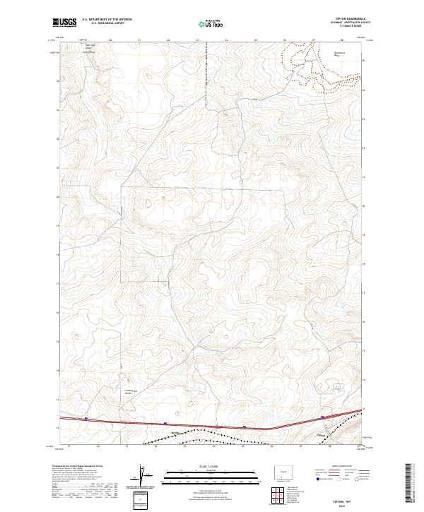
2021 Map of Tipton
USGS Topo · Published 2021About this map
The Continental Divide traverses this high desert landscape within the Red Desert Basin of Sweetwater County, marking a critical hydrological boundary in the American West. The small settlements of Tipton and Robinson sit along the southern edge of the map, positioned near the vital transportation corridor of Interstate 80. The terrain is defined by dry watercourses like Salt Sage Draw and Smiley Draw, which carve through the arid plateau. Surveyed in the early 21st century, the map reveals a remote region where infrastructure is largely limited to county and government routes such as Co RD 67 and various BLM roads. The layout of the land reflects a vast, open territory used for resource management and transit across the high plains, providing a clear view of the intersection between modern highways and the fundamental topography of the Great Divide.
Find a feature on this map
16 named features on this map. Tap any name to fly to it.
Don’t see what you’re looking for? This feature index may not catch every label — zoom into the map to look around manually.
Map Details
Editions of this 2021 Tipton Map
This is the sole edition of this map. No revisions or reprints were ever made.
Other maps of this area

1954 · Rock Springs
USGS Topo · 1:250,000

1958 · Rock Springs
USGS Topo · 1:250,000

1960 · Red Lake
USGS Topo · 1:62,500

1960 · Lost Creek Butte
USGS Topo · 1:62,500

1962 · Rock Springs
USGS Topo · 1:250,000

1970 · Red Desert SW
USGS Topo · 1:24,000

1970 · Table Rock
USGS Topo · 1:24,000

1970 · Red Desert NW
USGS Topo · 1:24,000

1970 · J O Dugway
USGS Topo · 1:24,000

1970 · Tipton
USGS Topo · 1:24,000