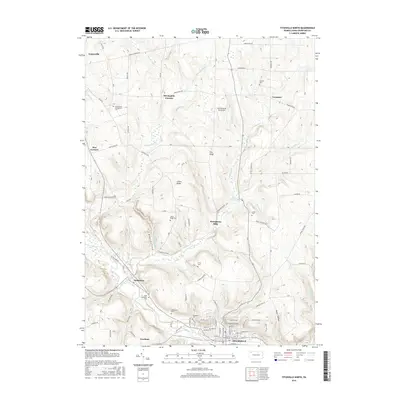
2016 Map of Titusville North
USGS Topo · Published 2016About this map
Titusville anchors the southern portion of this region, where the Univ of Pittsburgh-Titusville and dense residential streets like W Oak St and W Elm St concentrate along the banks of Church Run. Northward, the landscape transitions into a series of ridges and hollows, including Fink Ridge and Gilson Ridge, where the terrain is punctuated by small settlements and family-named landmarks. The area maintains a strong connection to its rural heritage through numerous burial grounds such as Saint Catherines Cem, Greenwood Cem, and Gilson Ridge Cem.
Find a feature on this map
70 named features on this map. Tap any name to fly to it.
Don’t see what you’re looking for? This feature index may not catch every label — zoom into the map to look around manually.
Map Details
Editions of this 2016 Titusville North Map
This is the sole edition of this map. No revisions or reprints were ever made.
Other maps of this area

1927 · Townville
USGS Topo · 1:48,000

1927 · Titusville
USGS Topo · 1:62,500

1929 · Corry
USGS Topo · 1:48,000

1929 · Union City
USGS Topo · 1:62,500

1932 · Corry
USGS Topo · 1:62,500

1932 · Townville
USGS Topo · 1:62,500

1932 · Union City
USGS Topo · 1:62,500

1933 · Titusville
USGS Topo · 1:62,500

1945 · Townville
USGS Topo · 1:62,500

1957 · Warren
USGS Topo · 1:250,000