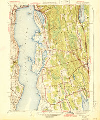
1942 Map of Tiverton
USGS Topo · Published 1942About this map
Sakonnet River dominates the western coastline of this Rhode Island and Massachusetts borderlands survey, defining the eastern edge of Aquidneck Island and the coastal settlements of Tiverton and Little Compton. The landscape is a network of coastal ponds and narrow necks, including Nannaquaket Neck and the tidal Quaket River. Inland, the terrain is shaped by numerous family-named landmarks and water bodies like Simmons Pond and Grays Mill Pond, reflecting a late-depression era rural economy still centered on small villages and agricultural crossroads.
Find a feature on this map
81 named features on this map. Tap any name to fly to it.
Don’t see what you’re looking for? This feature index may not catch every label — zoom into the map to look around manually.
Map Details
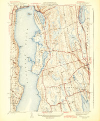
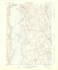
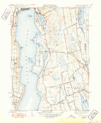
Editions of this 1942 Tiverton Map
4 editions found
Other maps of this area

1885 · Sakonnet
USGS Topo · 1:62,500

1888 · Fall River
USGS Topo · 1:62,500

1888 · Sakonnet
USGS Topo · 1:62,500

1889 · Newport
USGS Topo · 1:62,500

1890 · Narragansett Bay
USGS Topo · 1:62,500

1892 · Narragansett Bay
USGS Topo · 1:62,500

1893 · Sakonnet
USGS Topo · 1:62,500

1893 · Fall River
USGS Topo · 1:62,500

1894 · Newport
USGS Topo · 1:62,500

1904 · Newport
USGS Topo · 1:62,500