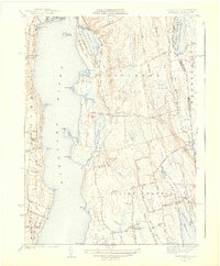
1942 Map of Tiverton
USGS Topo · Published 1942About this map
The Sakonnet River separates the eastern shore of Aquidneck Island from the mainland towns of Tiverton and Little Compton in this early-1940s landscape. The map shows a largely rural coastal economy characterized by inland marshes like the Great Swamp and a series of protected coastal waters such as Nannaquaket Pond and Nonquit Pond. Prominent coastal points like Fogland Pt and Sapowet Pt define the irregular shoreline, while the interior is marked by local elevations including Windmill Hill and Richmond Hill.
Find a feature on this map
50 named features on this map. Tap any name to fly to it.
Don’t see what you’re looking for? This feature index may not catch every label — zoom into the map to look around manually.
Map Details
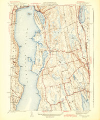
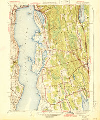
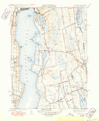
Editions of this 1942 Tiverton Map
4 editions found
Other maps of this area

1885 · Sakonnet
USGS Topo · 1:62,500

1888 · Fall River
USGS Topo · 1:62,500

1888 · Sakonnet
USGS Topo · 1:62,500

1889 · Newport
USGS Topo · 1:62,500

1890 · Narragansett Bay
USGS Topo · 1:62,500

1892 · Narragansett Bay
USGS Topo · 1:62,500

1893 · Sakonnet
USGS Topo · 1:62,500

1893 · Fall River
USGS Topo · 1:62,500

1894 · Newport
USGS Topo · 1:62,500

1904 · Newport
USGS Topo · 1:62,500