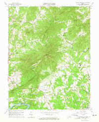
1963 Map of Tobacco Row Mtn
USGS Topo · Published 1965About this map
Tobacco Row Mountain dominates this portion of Amherst County, serving as a prominent geographical spine that separates the western watersheds from the central valley. In the early 1960s, the area supported several specialized institutions, most notably the Father Judge Mission Seminary and the St Pauls Mission Sch. The landscape is dotted with numerous family cemeteries and rural congregations, including Chestnut Grove Ch and Mt Carmel Ch, reflecting long-established local lineages.
Find a feature on this map
67 named features on this map. Tap any name to fly to it.
Don’t see what you’re looking for? This feature index may not catch every label — zoom into the map to look around manually.
Map Details
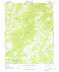
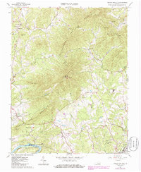
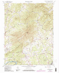
Editions of this 1963 Tobacco Row Mtn Map
4 editions found
Other maps of this area

1892 · Lynchburg
USGS Topo · 1:125,000

1894 · Lexington
USGS Topo · 1:125,000

1935 · Buena Vista
USGS Topo · 1:48,000

1935 · Amherst
USGS Topo · 1:48,000

1939 · Amherst
USGS Topo · 1:62,500

1939 · Buena Vista
USGS Topo · 1:62,500

1940 · Buena Vista
USGS Topo · 1:62,500

1944 · Lynchburg
USGS Topo · 1:62,500

1947 · Roanoke
USGS Topo · 1:250,000

1950 · Goode
USGS Topo · 1:62,500