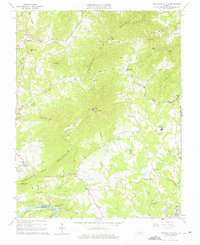
1963 Map of Tobacco Row Mtn
USGS Topo · Published 1975About this map
Tobacco Row Mountain dominates the landscape of central Amherst County, its long ridge punctuated by summits like High Peak Lookout Tower and Gun Mtn. In the early 1960s, this area maintained a rural character defined by small crossroads settlements such as Elon, Agricola, and Pleasant View. The geography is etched by numerous drainages including Harris Creek and Horsley Creek, while the southern border follows the winding path of the James River.
Find a feature on this map
71 named features on this map. Tap any name to fly to it.
Don’t see what you’re looking for? This feature index may not catch every label — zoom into the map to look around manually.
Map Details
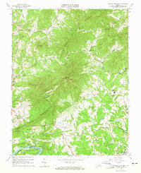
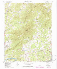
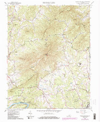
Editions of this 1963 Tobacco Row Mtn Map
4 editions found
Other maps of this area

1892 · Lynchburg
USGS Topo · 1:125,000

1894 · Lexington
USGS Topo · 1:125,000

1935 · Buena Vista
USGS Topo · 1:48,000

1935 · Amherst
USGS Topo · 1:48,000

1939 · Amherst
USGS Topo · 1:62,500

1939 · Buena Vista
USGS Topo · 1:62,500

1940 · Buena Vista
USGS Topo · 1:62,500

1944 · Lynchburg
USGS Topo · 1:62,500

1947 · Roanoke
USGS Topo · 1:250,000

1950 · Goode
USGS Topo · 1:62,500