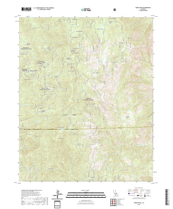
2022 Map of Tobias Peak
USGS Topo · Published 2022About this map
Sequoia National Forest encompasses this high-elevation landscape where the Greenhorn Mountains meet the Tulare and Kern County line. The topography is defined by a dense network of meadows and seasonal creek drainages that supported historical timber operations and early summer recreation. Signs of local industry are evident at Sugarloaf Saw Mill and Guernsey Mill, both located near the headwaters of the White River.
Find a feature on this map
66 named features on this map. Tap any name to fly to it.
Don’t see what you’re looking for? This feature index may not catch every label — zoom into the map to look around manually.
Map Details
Editions of this 2022 Tobias Peak Map
This is the sole edition of this map. No revisions or reprints were ever made.
Other maps of this area

1905 · Fairview
USGS Topo · 1:24,000

1906 · Kernville
USGS Topo · 1:125,000

1908 · Kernville
USGS Topo · 1:125,000

1918 · Fairview
USGS Topo · 1:31,680

1920 · Delonagha
USGS Topo · 1:62,500

1926 · Glennville
USGS Topo · 1:62,500

1936 · Tobias Peak
USGS Topo · 1:125,000

1943 · Tobias Peak
USGS Topo · 1:125,000

1943 · Isabella
USGS Topo · 1:62,500

1945 · Tobias Peak
USGS Topo · 1:62,500
Featured Places
- Guernsey Mill, CA
- Sugarloaf Mountain Park, CA
- Spear Creek Summer Home Tract, CA
- Kern County, CA
- Tulare County, CA