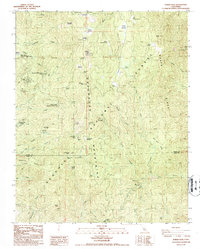
1986 Map of Tobias Peak
USGS Topo · Published 1987About this map
Tobias Peak and the surrounding Greenhorn Mountains define this high-altitude landscape in the southern Sierra Nevada during the mid-1980s. The region is characterized by a mix of summer residential developments and industrial relics, specifically within the Sequoia National Forest. Notable seasonal settlements like the White River Summer Home Tract and Spear Creek Summer Home Tract appear alongside more established communities like Sugarloaf Mountain Park and Panorama Heights.
Find a feature on this map
72 named features on this map. Tap any name to fly to it.
Don’t see what you’re looking for? This feature index may not catch every label — zoom into the map to look around manually.
Map Details
Editions of this 1986 Tobias Peak Map
2 editions found
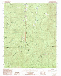
Other maps of this area

1905 · Fairview
USGS Topo · 1:24,000

1906 · Kernville
USGS Topo · 1:125,000

1908 · Kernville
USGS Topo · 1:125,000

1918 · Fairview
USGS Topo · 1:31,680

1920 · Delonagha
USGS Topo · 1:62,500

1926 · Glennville
USGS Topo · 1:62,500

1936 · Tobias Peak
USGS Topo · 1:125,000

1943 · Tobias Peak
USGS Topo · 1:125,000

1943 · Isabella
USGS Topo · 1:62,500

1945 · Tobias Peak
USGS Topo · 1:62,500
Featured Places
- Guernsey Mill, CA
- Spear Creek Summer Home Tract, CA
- Sugarloaf Mountain Park, CA
- Kern County, CA
- Tulare County, CA