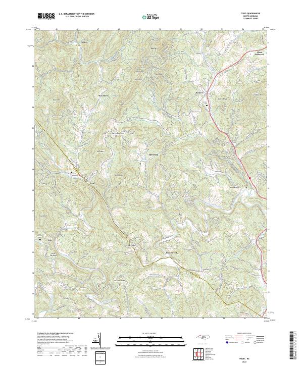
2022 Map of Todd
USGS Topo · Published 2022About this map
The South Fork New River meanders through this high-elevation landscape, defining the topography and historical travel routes between Ashe Co and Watauga Co. The settlement of Todd sits at a critical junction of the river and winding mountain roads like Carter Miller Rd, serving as a primary focal point for local history in this area. To the northeast, the terrain rises toward Queen Ridge and Simone Mtn, while the community of Baldwin and its Bethany Cem overlook the valley floor. Genealogists will find significant value in the scattered burial grounds, including Mount Pleasant Cem near Solo and Howell Cem near Pine Orchard. The map illustrates a complex network of named ridges and knobs, such as Laurel Knob Mtn and Third Knob, which have long shaped the agrarian and residential patterns of this part of the Blue Ridge.
Find a feature on this map
209 named features on this map. Tap any name to fly to it.
Don’t see what you’re looking for? This feature index may not catch every label — zoom into the map to look around manually.
Map Details
Editions of this 2022 Todd Map
This is the sole edition of this map. No revisions or reprints were ever made.
Other maps of this area

1889 · Wilkesboro
USGS Topo · 1:125,000

1891 · Wilkesboro
USGS Topo · 1:125,000

1893 · Cranberry
USGS Topo · 1:125,000

1895 · Cranberry
USGS Topo · 1:125,000

1899 · Cranberry
USGS Topo · 1:125,000

1902 · Cranberry
USGS Topo · 1:125,000

1934 · Boone
USGS Topo · 1:24,000

1935 · Baldwin Gap
USGS Topo · 1:24,000

1935 · Zionville
USGS Topo · 1:24,000

1936 · Blowing Rock
USGS Topo · 1:48,000