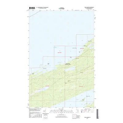
2017 Map of Todd Harbor
USGS Topo · Published 2017About this map
Isle Royale National Park dominates this 2017 survey, showcasing the geological parallel of Minong Ridge and Greenstone Ridge on Michigan’s northernmost wilderness island. This landscape is defined by its deep linear valleys and ridges that trend southwest to northeast, trapping interior waters like Hatchet Lake and Lake Harvey between the heights. Along the shoreline, Lake Superior cuts into the rocky coast to form Todd Harbor and Florence Bay, shielded by a series of small landforms including Wilson Island and Taylor Island. The elevation reaches its peak at Mt Siskiwit, overlooking the expansive Siskiwit Lake to the south. This mapping provides a clear look at the remote archipelago’s complex topography, from the precarious Teakettle Island to the northern reaches of Kamloops Point, where the shoreline meets the open water of the Great Lakes.
Find a feature on this map
28 named features on this map. Tap any name to fly to it.
Don’t see what you’re looking for? This feature index may not catch every label — zoom into the map to look around manually.
Map Details
Editions of this 2017 Todd Harbor Map
This is the sole edition of this map. No revisions or reprints were ever made.
Other maps of this area
1958 · Hancock
USGS Topo · 1:250,000
1959 · Fort William
USGS Topo · 1:250,000
1960 · Hancock
USGS Topo · 1:250,000
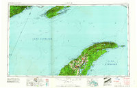
1961 · Hancock
USGS Topo · 1:250,000
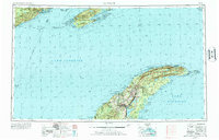
1966 · Hancock
USGS Topo · 1:250,000
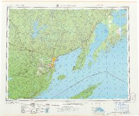
1968 · Fort William
USGS Topo · 1:250,000
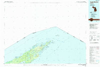
1985 · Todd Harbor
USGS Topo · 1:100,000
1985 · Siskiwit Bay
USGS Topo · 1:100,000
1985 · Lake Richie
USGS Topo · 1:24,000
1985 · Todd Harbor
USGS Topo · 1:24,000