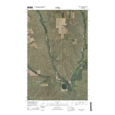
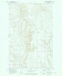
2014 Map of Todd Lakes SE
USGS Topo · Published 2014About this map
The convergence of the Wolf Creek drainage system defines this high-plains landscape on the boundary of Valley and Roosevelt Counties. The terrain is characterized by the intricate branching of Middle Fork Wolf Cr, E Fork Wolf Cr, and W Fork Wolf Cr, which carve through the open range of northeast Montana. This 2014 survey documents a sparsely populated region where human presence is primarily marked by a grid of section lines and isolated rural routes like Co Line Rd and Cr-1078. The lack of named settlements or heavy infrastructure highlights the area's continued use for large-scale ranching and agriculture, preserving the seasonal water patterns and topographic contours of the Wolf Point District as they existed in the early 21st century.
Find a feature on this map
11 named features on this map. Tap any name to fly to it.
Don’t see what you’re looking for? This feature index may not catch every label — zoom into the map to look around manually.
Map Details
Editions of this 2014 Todd Lakes SE Map
This is the sole edition of this map. No revisions or reprints were ever made.
Other maps of this area
1910 · Todd Lakes
USGS Topo · 1:62,500
1915 · Tule Valley
USGS Topo · 1:62,500
1915 · Oswego
USGS Topo · 1:62,500
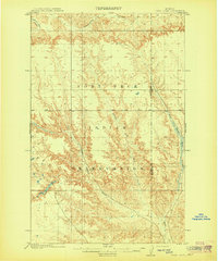
1915 · Todd Lakes
USGS Topo · 1:62,500
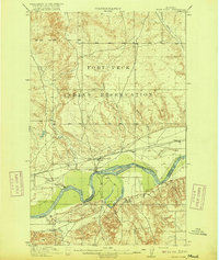
1916 · Wolf Point
USGS Topo · 1:62,500

1954 · Wolf Point
USGS Topo · 1:250,000

1958 · Wolf Point
USGS Topo · 1:250,000
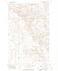
1972 · Flynn Creek North
USGS Topo · 1:24,000
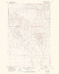
1972 · Oswego NW
USGS Topo · 1:24,000
1972 · Wolf Point NW
USGS Topo · 1:24,000