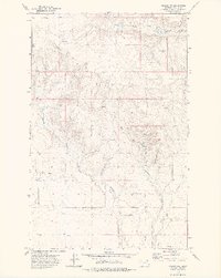
1972 Map of Oswego NW
USGS Topo · Published 1975About this map
The Fort Peck Indian Reservation landscape is defined by the complex drainage system of Oswego Creek and its tributary, East Fork Oswego Creek. This 1970s survey captures a transition between the northern high plains and the breaks, where the terrain is marked by isolated landmarks like Three Buttes in the south and the curiously named Badger Hole Coulee to the north.
Find a feature on this map
11 named features on this map. Tap any name to fly to it.
Don’t see what you’re looking for? This feature index may not catch every label — zoom into the map to look around manually.
Map Details
Editions of this 1972 Oswego NW Map
This is the sole edition of this map. No revisions or reprints were ever made.
Other maps of this area

1910 · Todd Lakes
USGS Topo · 1:62,500

1915 · Frazer
USGS Topo · 1:62,500

1915 · Oswego
USGS Topo · 1:62,500

1915 · Todd Lakes
USGS Topo · 1:62,500

1915 · Spring Creek
USGS Topo · 1:62,500

1954 · Wolf Point
USGS Topo · 1:250,000

1954 · Glasgow
USGS Topo · 1:250,000

1957 · Glasgow
USGS Topo · 1:250,000

1958 · Wolf Point
USGS Topo · 1:250,000

1958 · Glasgow
USGS Topo · 1:250,000