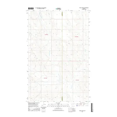
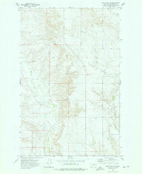
2017 Map of Todd Lakes SE
USGS Topo · Published 2017About this map
Middle Fork Wolf Cr and its numerous tributaries dominate this high plains landscape along the boundary of Valley and Roosevelt counties. This 2017 topographic record illustrates the intricate drainage patterns of the Wolf Creek system, including the E Fork Wolf Cr and the seasonal paths of Dry Fork Wolf Cr and W Fork Wolf Cr. The terrain is defined by a series of draws and ridges, with a sparse network of section roads such as Co Line Rd and Rd 1081 providing the primary access through these townships. The map highlights the vast, open character of this Montana ranching and grazing country, where the geography is shaped more by watercourses than by human settlements. The presence of Wolf Cr in the southern portion of the sheet further emphasizes the importance of these rare water resources in an otherwise arid environment.
Find a feature on this map
16 named features on this map. Tap any name to fly to it.
Don’t see what you’re looking for? This feature index may not catch every label — zoom into the map to look around manually.
Map Details
Editions of this 2017 Todd Lakes SE Map
This is the sole edition of this map. No revisions or reprints were ever made.
Other maps of this area
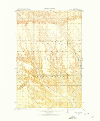
1910 · Todd Lakes
USGS Topo · 1:62,500
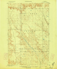
1915 · Tule Valley
USGS Topo · 1:62,500
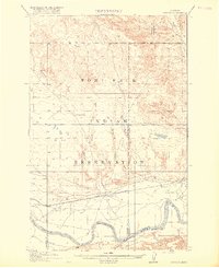
1915 · Oswego
USGS Topo · 1:62,500
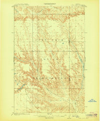
1915 · Todd Lakes
USGS Topo · 1:62,500
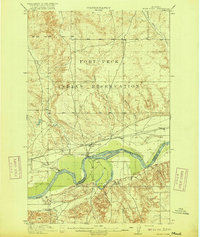
1916 · Wolf Point
USGS Topo · 1:62,500

1954 · Wolf Point
USGS Topo · 1:250,000

1958 · Wolf Point
USGS Topo · 1:250,000
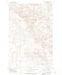
1972 · Flynn Creek North
USGS Topo · 1:24,000
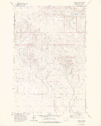
1972 · Oswego NW
USGS Topo · 1:24,000
1972 · Wolf Point NW
USGS Topo · 1:24,000