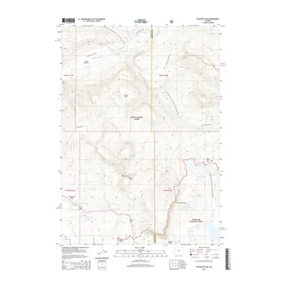
2015 Map of Togwotee Pass
USGS Topo · Published 2015About this map
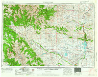
Continental Divide crests through this high-altitude landscape where the Teton National Forest meets the Shoshone National Forest. The geography is defined by prominent volcanic summits like Breccia Peak and the Simpson Peaks, overlooking complex drainage systems that feed into Blackrock Cr and the South Buffalo Fork. The high-country hydrology is remarkably dense, featuring the Upper Brooks Lakes, Lower Jade Lake, and the alpine waters of Brooks Lake nestled near the southern boundary.
Find a feature on this map
35 named features on this map. Tap any name to fly to it.
Don’t see what you’re looking for? This feature index may not catch every label — zoom into the map to look around manually.
Map Details
Editions of this 2015 Togwotee Pass Map
This is the sole edition of this map. No revisions or reprints were ever made.
Other maps of this area
1902 · Mt Leidy
USGS Topo · 1:125,000
1905 · Younts Peak
USGS Topo · 1:125,000
1907 · Younts Peak
USGS Topo · 1:125,000

1955 · Driggs
USGS Topo · 1:250,000

1955 · Thermopolis
USGS Topo · 1:250,000
1956 · Kisinger Lakes
USGS Topo · 1:24,000
1956 · Dundee Meadows
USGS Topo · 1:24,000
1958 · Driggs
USGS Topo · 1:250,000
1958 · Thermopolis
USGS Topo · 1:250,000
1962 · Thermopolis
USGS Topo · 1:250,000