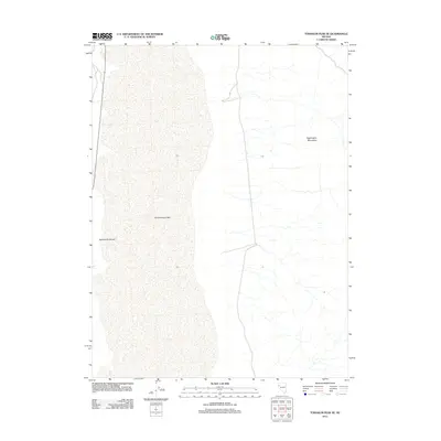
2011 Map of Tohakum Peak SE
USGS Topo · Published 2011About this map
Winnemucca Lake dominates the western portion of this Great Basin landscape, situated within a broad basin typical of the Nevada desert. The eastern half of the map rises into the elevated terrain of the Nightingale Mountains, where the land is carved by numerous intermittent drainage patterns and small washes. Evidence of the region’s topography is further marked by Sevenmile Canyon, which cuts through the foothills on the western edge of the range. This 2011 survey illustrates the sparse, arid character of the area, focusing on the relationship between the dry lake bed and the surrounding mountain slopes in a region defined by its extreme isolation and dramatic geological transitions.
Find a feature on this map
3 named features on this map. Tap any name to fly to it.
Don’t see what you’re looking for? This feature index may not catch every label — zoom into the map to look around manually.
Map Details
Editions of this 2011 Tohakum Peak SE Map
This is the sole edition of this map. No revisions or reprints were ever made.
Other maps of this area

1886 · Granite Range
USGS Topo · 1:250,000
1890 · Wadsworth
USGS Topo · 1:125,000
1892 · Wadsworth
USGS Topo · 1:125,000

1894 · Granite Range
USGS Topo · 1:250,000
1894 · Wadsworth
USGS Topo · 1:125,000

1955 · Lovelock
USGS Topo · 1:250,000
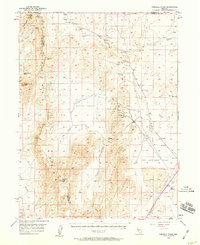
1957 · Fireball Ridge
USGS Topo · 1:62,500
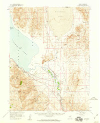
1957 · Nixon
USGS Topo · 1:62,500
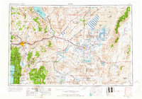
1957 · Reno
USGS Topo · 1:250,000

1959 · Lovelock
USGS Topo · 1:250,000