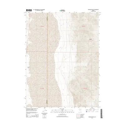
2014 Map of Tohakum Peak SE
USGS Topo · Published 2014About this map
Nightingale Mountains dominate the eastern portion of this high-desert landscape on the border of northwestern Nevada. This 2014 survey captures a remote section of the Great Basin where the boundary between Washoe County and Pershing County runs north-to-south through the center of the terrain. The topography is defined by the sharp descent from the ridge lines of the mountains into the broad drainage of Sevenmile Canyon in the west. This area is characterized by its lack of modern infrastructure, showing the land as it exists under the Public Land Survey System within townships t26n r23e and t25n r24e. The map provides a precise record of natural drainage patterns and elevation contours in an arid, unpopulated region of the state.
Find a feature on this map
7 named features on this map. Tap any name to fly to it.
Don’t see what you’re looking for? This feature index may not catch every label — zoom into the map to look around manually.
Map Details
Editions of this 2014 Tohakum Peak SE Map
This is the sole edition of this map. No revisions or reprints were ever made.
Other maps of this area

1886 · Granite Range
USGS Topo · 1:250,000
1890 · Wadsworth
USGS Topo · 1:125,000
1892 · Wadsworth
USGS Topo · 1:125,000

1894 · Granite Range
USGS Topo · 1:250,000
1894 · Wadsworth
USGS Topo · 1:125,000

1955 · Lovelock
USGS Topo · 1:250,000
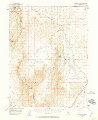
1957 · Fireball Ridge
USGS Topo · 1:62,500
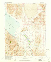
1957 · Nixon
USGS Topo · 1:62,500
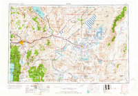
1957 · Reno
USGS Topo · 1:250,000

1959 · Lovelock
USGS Topo · 1:250,000