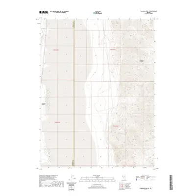
2018 Map of Tohakum Peak SE
USGS Topo · Published 2018About this map
The high-desert terrain of Washoe Co and Pershing Co is defined by the sharp transition between the playa floor and the rising slopes of the Nightingale Mountains. This 2018 survey documents a landscape of extreme verticality, where the drainage of Sevenmile Canyon cuts through the steep western face of the range. The boundary between the two counties runs vertically through the center of the sheet, dividing the more level valley floor to the west from the complex topographic relief to the east. Transportation through this arid corridor is anchored by Highway 447, which skirts the western edge of the mountains, following the natural path of the valley. The map details the Public Land Survey System grid across four townships, illustrating how these administrative lines intersect with the physical reality of the Nevada desert.
Find a feature on this map
8 named features on this map. Tap any name to fly to it.
Don’t see what you’re looking for? This feature index may not catch every label — zoom into the map to look around manually.
Map Details
Editions of this 2018 Tohakum Peak SE Map
This is the sole edition of this map. No revisions or reprints were ever made.
Other maps of this area

1886 · Granite Range
USGS Topo · 1:250,000
1890 · Wadsworth
USGS Topo · 1:125,000
1892 · Wadsworth
USGS Topo · 1:125,000

1894 · Granite Range
USGS Topo · 1:250,000
1894 · Wadsworth
USGS Topo · 1:125,000

1955 · Lovelock
USGS Topo · 1:250,000
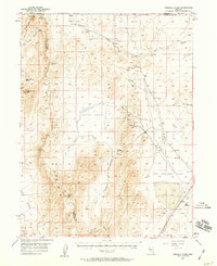
1957 · Fireball Ridge
USGS Topo · 1:62,500
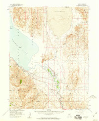
1957 · Nixon
USGS Topo · 1:62,500
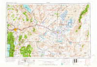
1957 · Reno
USGS Topo · 1:250,000

1959 · Lovelock
USGS Topo · 1:250,000