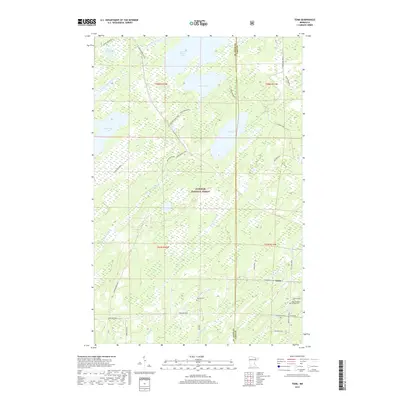
2019 Map of Toimi
USGS Topo · Published 2019About this map
Toimi sits at a crossroads of forest roads and small waterways in the remote lake country of Saint Louis County. This landscape is defined by the headwaters of the Saint Louis River and the expansive waters of Seven Beaver Lake, which dominate the northern terrain. The region's history is preserved at the Toimi Childrens Settlers Cem and Bassett Cem, markers of the early communities that established themselves within what is now the Superior National Forest. A network of logging and local routes, such as Townline Road and Seven Beaver Lake Road, connects scattered clearings and family-named landmarks like Ziburski Road and Hjalmer Lake Road. Numerous water bodies including Round Lake, Black Mallard Lake, and Pine Lake are interspersed with the winding courses of Toimi Cr and Petrell Cr, reflecting a landscape shaped by timber and water resource management.
Find a feature on this map
41 named features on this map. Tap any name to fly to it.
Don’t see what you’re looking for? This feature index may not catch every label — zoom into the map to look around manually.
Map Details
Editions of this 2019 Toimi Map
This is the sole edition of this map. No revisions or reprints were ever made.
Other maps of this area
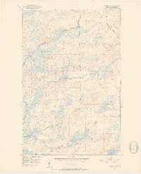
1951 · Babbitt SW
USGS Topo · 1:24,000
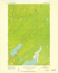
1952 · Babbitt SE
USGS Topo · 1:24,000
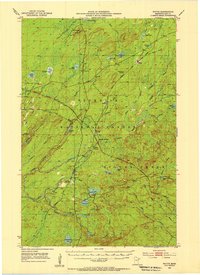
1953 · Whyte
USGS Topo · 1:62,500
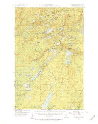
1954 · Greenwood Lake
USGS Topo · 1:62,500
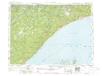
1954 · Two Harbors
USGS Topo · 1:250,000
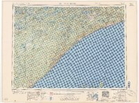
1957 · Two Harbors
USGS Topo · 1:250,000
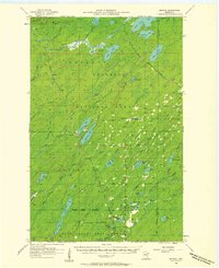
1957 · Brimson
USGS Topo · 1:62,500
1958 · Two Harbors
USGS Topo · 1:250,000
1964 · Two Harbors
USGS Topo · 1:250,000
1976 · Brimson SW
USGS Topo · 1:24,000