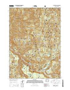
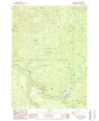
2014 Map of Toketee Falls
USGS Topo · Published 2014About this map
Toketee Falls and the cascading waters of the N Umpqua River define this portion of the Umpqua National Forest in Douglas County. The landscape is heavily influenced by hydroelectric development, with features such as Soda Springs Reservoir, Toketee Lake, and several forebays including Lemolo Number 2 Forebay and Clearwater Number Two Forebay connected by infrastructure like Clearwater Canal Number 2.
Find a feature on this map
68 named features on this map. Tap any name to fly to it.
Don’t see what you’re looking for? This feature index may not catch every label — zoom into the map to look around manually.
Map Details
Editions of this 2014 Toketee Falls Map
This is the sole edition of this map. No revisions or reprints were ever made.
Other maps of this area
1917 · Diamond Lake
USGS Topo · 1:125,000
1955 · Quartz Mtn
USGS Topo · 1:62,500
1955 · Illahee Rock
USGS Topo · 1:62,500
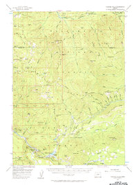
1956 · Toketee Falls
USGS Topo · 1:62,500
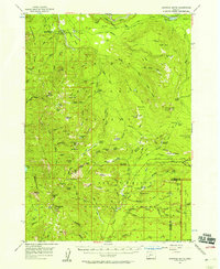
1956 · Garwood Butte
USGS Topo · 1:62,500

1958 · Roseburg
USGS Topo · 1:250,000

1959 · Roseburg
USGS Topo · 1:250,000
1978 · Diamond Lake
USGS Topo · 1:100,000
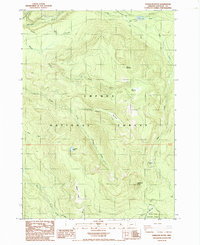
1985 · Garwood Butte
USGS Topo · 1:24,000
1986 · Toketee Falls
USGS Topo · 1:24,000