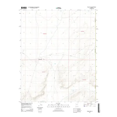
2014 Map of Tolani Lake
USGS Topo · Published 2014About this map
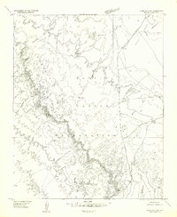
Tolani Lake serves as a central point of settlement in this arid landscape, where the geography is defined by a network of ephemeral watercourses. The drainage patterns of Oraibi Wash and Polacca Wash dominate the northern and central terrain, while the southern reaches are marked by Jeddito Wash and the distinctively named Whe-yol-da-sah Wash. These sandy washes illustrate the desert hydrology of the region, carrying seasonal runoff across the high plateau. The transport network is comprised of Bureau of Indian Affairs routes, including Bia-24 and Bia-6810, which provide the primary connectivity between the remote homesteads and the local community hub. The map provides a look at the rural infrastructure and land divisions in this part of Coconino County, reflecting the intersection of traditional land use and modern administrative mapping.
Find a feature on this map
14 named features on this map. Tap any name to fly to it.
Don’t see what you’re looking for? This feature index may not catch every label — zoom into the map to look around manually.
Map Details
Editions of this 2014 Tolani Lake Map
This is the sole edition of this map. No revisions or reprints were ever made.
Other maps of this area
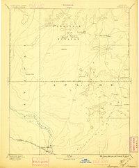
1883 · Tusayan
USGS Topo · 1:250,000
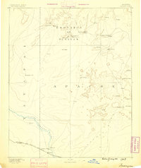
1886 · Tusayan
USGS Topo · 1:250,000

1947 · Flagstaff
USGS Topo · 1:250,000
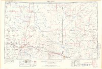
1954 · Flagstaff
USGS Topo · 1:250,000
1955 · Winslow 2 SW
USGS Topo · 1:24,000
1955 · Leupp
USGS Topo · 1:62,500
1957 · Winslow 1 SW
USGS Topo · 1:24,000
1957 · Winslow 2 SE
USGS Topo · 1:24,000
1957 · Winslow 2 NW
USGS Topo · 1:24,000
1958 · Flagstaff
USGS Topo · 1:250,000