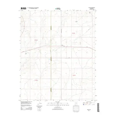
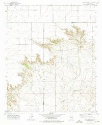
2013 Map of Tolar
USGS Topo · Published 2013About this map
Tolar sits along the shared boundary of De Baca and Roosevelt Counties, serving as a primary point of interest on this high-plains landscape. The settlement is positioned along the vital transportation corridor of Us-60 84, which cuts through the center of the region. Local history is anchored at the Tolar Cem and the small community of Cooper to the south. The terrain is defined by ephemeral drainages and essential water sources for ranching, including the aptly named Stinking Spring and various landmarks like Lake Windmill and East Bell Windmill. Named creek beds such as Painter Jim Cr, Alamosa Cr, and Taiban Cr reveal the natural drainage patterns that have dictated land use and settlement in this arid section of New Mexico.
Find a feature on this map
22 named features on this map. Tap any name to fly to it.
Don’t see what you’re looking for? This feature index may not catch every label — zoom into the map to look around manually.
Map Details
Editions of this 2013 Tolar Map
This is the sole edition of this map. No revisions or reprints were ever made.
Other maps of this area
1954 · Fort Sumner
USGS Topo · 1:250,000

1954 · Clovis
USGS Topo · 1:250,000
1958 · Fort Sumner
USGS Topo · 1:250,000

1958 · Clovis
USGS Topo · 1:250,000
1968 · Lomas Gatos
USGS Topo · 1:24,000
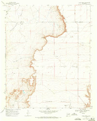
1968 · Candy Mesa
USGS Topo · 1:24,000
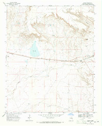
1968 · Taiban
USGS Topo · 1:24,000
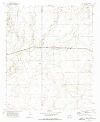
1973 · Tolar
USGS Topo · 1:24,000
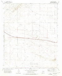
1973 · Krider
USGS Topo · 1:24,000
1973 · Peach Canyon
USGS Topo · 1:24,000