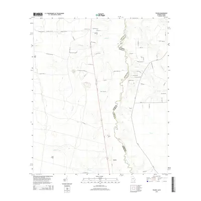
2014 Map of Toledo
USGS Topo · Published 2014About this map
The Saint Marys River carves a winding, serpentine boundary between Georgia and Florida, anchoring this survey of the swampy borderlands in Charlton and Nassau counties. The small settlement of Toledo sits at a crossroads in the southern portion of the map, marked by the presence of the Toledo Lookout Tower. This landscape is defined by the Trail Ridge and a network of named branches and creeks including Cornhouse Cr and Dunn Cr. For genealogists, the map preserves the locations of local burial grounds like Cornhouse Creek Cem and Johnson Cem, alongside numerous family-named roads such as Jake Petty Rd, R L Johnson Rd, and Willie Dixon Rd. These rural thoroughfares and the Longleaf Pine Trail navigate the dense pine forests and wetlands that have long characterized this region of the Deep South.
Find a feature on this map
63 named features on this map. Tap any name to fly to it.
Don’t see what you’re looking for? This feature index may not catch every label — zoom into the map to look around manually.
Map Details
Editions of this 2014 Toledo Map
This is the sole edition of this map. No revisions or reprints were ever made.
Other maps of this area

1917 · Boulogne
USGS Topo · 1:62,500

1917 · Hilliard
USGS Topo · 1:62,500

1918 · Folkston
USGS Topo · 1:62,500

1918 · Moniac
USGS Topo · 1:62,500

1919 · Hilliard
USGS Topo · 1:62,500

1919 · Boulogne
USGS Topo · 1:62,500

1942 · Moniac
USGS Topo · 1:62,500

1948 · Jacksonville
USGS Topo · 1:250,000

1954 · Valdosta
USGS Topo · 1:250,000

1957 · Jacksonville
USGS Topo · 1:250,000