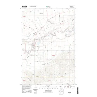
2013 Map of Toledo
USGS Topo · Published 2013About this map
The Cowlitz River defines the central topography of this 2013 survey, winding through a landscape of expansive prairies and timbered hills along the Lewis Co Cowlitz Co line. The settlement of Toledo sits on the western bank, serving as a focal point near the junction of Wa-505 and the historic Jackson Hwy. This area preserves several distinct open-land formations, including Lacamas Prairie, Cowlitz Prairie, and Layton Prairie, which have historically supported the region's agricultural character.
Find a feature on this map
85 named features on this map. Tap any name to fly to it.
Don’t see what you’re looking for? This feature index may not catch every label — zoom into the map to look around manually.
Map Details
Editions of this 2013 Toledo Map
This is the sole edition of this map. No revisions or reprints were ever made.
Other maps of this area

1916 · Chehalis
USGS Topo · 1:125,000

1941 · Olequa
USGS Topo · 1:62,500

1942 · Toutle
USGS Topo · 1:62,500

1943 · Willapa
USGS Topo · 1:62,500

1953 · Hoquiam
USGS Topo · 1:250,000

1953 · Toutle
USGS Topo · 1:62,500

1953 · Castle Rock
USGS Topo · 1:62,500

1954 · Onalaska
USGS Topo · 1:62,500

1954 · Centralia
USGS Topo · 1:62,500

1957 · Hoquiam
USGS Topo · 1:250,000