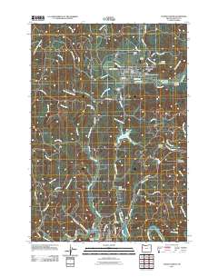
2011 Map of Toledo North
USGS Topo · Published 2011About this map
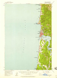
The Siletz River meanders through the heart of this coastal Oregon landscape, connecting the town of Siletz to the surrounding hills. This 2011 survey captures the area's complex water management and transportation systems, featuring the Olalla Reservoir behind the Olalla Dam, alongside the Siletz Reservoir and Mills Riffle Reservoir. These water bodies are vital landmarks in a region defined by its timber and river heritage.
Find a feature on this map
74 named features on this map. Tap any name to fly to it.
Don’t see what you’re looking for? This feature index may not catch every label — zoom into the map to look around manually.
Map Details
Editions of this 2011 Toledo North Map
This is the sole edition of this map. No revisions or reprints were ever made.
Other maps of this area
1941 · Cape Foulweather
USGS Topo · 1:62,500
1942 · Euchre Mtn
USGS Topo · 1:62,500
1942 · Yaquina
USGS Topo · 1:62,500
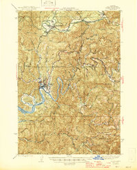
1942 · Toledo
USGS Topo · 1:62,500
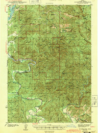
1943 · Euchre Mtn
USGS Topo · 1:62,500
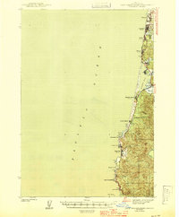
1944 · Cape Foulweather
USGS Topo · 1:62,500

1953 · Salem
USGS Topo · 1:250,000

1954 · Salem
USGS Topo · 1:250,000
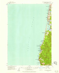
1957 · Cape Foulweather
USGS Topo · 1:62,500
1957 · Yaquina
USGS Topo · 1:62,500