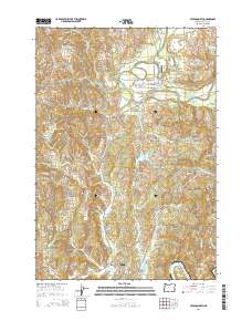
2014 Map of Toledo North
USGS Topo · Published 2014About this map
Toledo and Siletz anchor this coastal river landscape, where the Siletz River winds through a complex network of valleys and reservoirs. The area's mid-20th-century development is visible through the infrastructure of the Siletz Airport and the residential layout of Government Hill. To the east, the topography rises toward Pioneer Mtn and Pioneer Summit, while the central valley is dominated by the Olalla Reservoir and its associated sloughs. For genealogists and local historians, the map provides precise locations for the Toledo Cem and Riverside Cem. The road network, including the Corvallis-Newport Hwy and the winding Siletz Hwy, illustrates how the terrain dictated the transport routes between the timber-rich hills and the riverfront communities of Fruitvale and the northern reaches of the Yaquina River basin.
Find a feature on this map
115 named features on this map. Tap any name to fly to it.
Don’t see what you’re looking for? This feature index may not catch every label — zoom into the map to look around manually.
Map Details
Editions of this 2014 Toledo North Map
This is the sole edition of this map. No revisions or reprints were ever made.
Other maps of this area

1941 · Cape Foulweather
USGS Topo · 1:62,500

1942 · Euchre Mtn
USGS Topo · 1:62,500

1942 · Yaquina
USGS Topo · 1:62,500

1942 · Toledo
USGS Topo · 1:62,500

1943 · Euchre Mtn
USGS Topo · 1:62,500

1944 · Cape Foulweather
USGS Topo · 1:62,500

1953 · Salem
USGS Topo · 1:250,000

1954 · Salem
USGS Topo · 1:250,000

1957 · Cape Foulweather
USGS Topo · 1:62,500

1957 · Yaquina
USGS Topo · 1:62,500