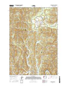
2017 Map of Toledo North
USGS Topo · Published 2017About this map
The Siletz River winds through the northern portion of this Lincoln County survey, providing a focal point for the settlement at Siletz. This area is characterized by a network of rural routes and loop roads, such as Camp 12 Loop and Hudson Loop, which suggest a landscape shaped by local industry and forestry. To the south, the city of Toledo sits near the confluence of Depot Slough and the Yaquina River, serving as a regional hub with its own Toledo Cem and proximity to the Olalla Reservoir.
Find a feature on this map
83 named features on this map. Tap any name to fly to it.
Don’t see what you’re looking for? This feature index may not catch every label — zoom into the map to look around manually.
Map Details
Editions of this 2017 Toledo North Map
This is the sole edition of this map. No revisions or reprints were ever made.
Other maps of this area

1941 · Cape Foulweather
USGS Topo · 1:62,500

1942 · Euchre Mtn
USGS Topo · 1:62,500

1942 · Yaquina
USGS Topo · 1:62,500

1942 · Toledo
USGS Topo · 1:62,500

1943 · Euchre Mtn
USGS Topo · 1:62,500

1944 · Cape Foulweather
USGS Topo · 1:62,500

1953 · Salem
USGS Topo · 1:250,000

1954 · Salem
USGS Topo · 1:250,000

1957 · Cape Foulweather
USGS Topo · 1:62,500

1957 · Yaquina
USGS Topo · 1:62,500