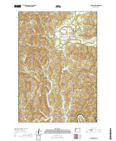
2020 Map of Toledo North
USGS Topo · Published 2020About this map
Toledo and Siletz anchor this coastal range landscape, where the Siletz River and Yaquina River drain a complex network of ridges and narrow valleys. This modern survey illustrates the significant water management infrastructure of the region, including the Olalla Reservoir, Siletz Reservoir, and Mills Rifle Reservoir. The terrain is defined by prominent landmarks such as Pioneer Mtn, Newton Hill, and Government Hill, while the settlement of Fruitvale sits at the western edge of the quadrangle. Local transportation is represented by the Siletz Airport and the crossing at Fuller Bridge. For those researching family history, the map precisely locates the Toledo Cemetery and Riverside Cemetery, while numerous local roads like Camp 12 Loop and Pioneer Mountain Loop trace the historic logging and access routes through the Oregon timberlands.
Find a feature on this map
81 named features on this map. Tap any name to fly to it.
Don’t see what you’re looking for? This feature index may not catch every label — zoom into the map to look around manually.
Map Details
Editions of this 2020 Toledo North Map
This is the sole edition of this map. No revisions or reprints were ever made.
Other maps of this area
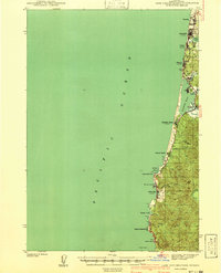
1941 · Cape Foulweather
USGS Topo · 1:62,500
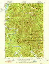
1942 · Euchre Mtn
USGS Topo · 1:62,500
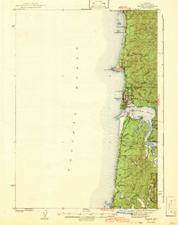
1942 · Yaquina
USGS Topo · 1:62,500
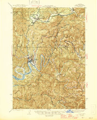
1942 · Toledo
USGS Topo · 1:62,500
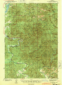
1943 · Euchre Mtn
USGS Topo · 1:62,500
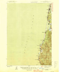
1944 · Cape Foulweather
USGS Topo · 1:62,500

1953 · Salem
USGS Topo · 1:250,000

1954 · Salem
USGS Topo · 1:250,000
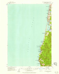
1957 · Cape Foulweather
USGS Topo · 1:62,500
1957 · Yaquina
USGS Topo · 1:62,500