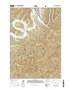
2017 Map of Toledo South
USGS Topo · Published 2017About this map
Toledo and the winding course of the Yaquina River anchor this 2017 survey of coastal Lincoln County, Oregon. The map illustrates a landscape of complex waterways and tidal sloughs, including Boone Slough and Tokyo Slough, which define the low-lying areas south of the main settlement. Infrastructure such as the Toledo State Airport and the Butler Bridge crossing the river highlight the area's modern connectivity, while the inland reaches show the transition into the Siuslaw National Forest.
Find a feature on this map
69 named features on this map. Tap any name to fly to it.
Don’t see what you’re looking for? This feature index may not catch every label — zoom into the map to look around manually.
Map Details
Editions of this 2017 Toledo South Map
This is the sole edition of this map. No revisions or reprints were ever made.
Other maps of this area

1922 · Waldport
USGS Topo · 1:62,500

1942 · Waldport
USGS Topo · 1:62,500

1942 · Yaquina
USGS Topo · 1:62,500

1942 · Tidewater
USGS Topo · 1:62,500

1942 · Toledo
USGS Topo · 1:62,500

1953 · Salem
USGS Topo · 1:250,000

1954 · Salem
USGS Topo · 1:250,000

1956 · Tidewater
USGS Topo · 1:62,500

1956 · Waldport
USGS Topo · 1:62,500

1957 · Yaquina
USGS Topo · 1:62,500