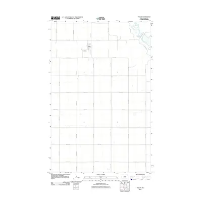
2011 Map of Tolley
USGS Topo · Published 2011About this map
The settlement of Tolley serves as the focal point for this rural North Dakota landscape, situated along the north-south corridor of County Rd 3. The township’s organized layout is defined by an extensive grid of section-line roads, including 91st St NW and 51st Ave NW, which facilitated agricultural movement across Renville County into the early 21st century. To the west of the town center lies Trinity Cemetery, providing a significant touchstone for genealogical research in this sparsely populated prairie region. The northeast corner of the area is dramatically shaped by the meandering Souris River, which carves a distinct valley through the otherwise orderly geometry of the plains. This river system, navigated by County Rd 8, contrasts the rigid land divisions with its organic curves and associated wetlands, illustrating the enduring influence of hydrology on local infrastructure.
Find a feature on this map
28 named features on this map. Tap any name to fly to it.
Don’t see what you’re looking for? This feature index may not catch every label — zoom into the map to look around manually.
Map Details
Editions of this 2011 Tolley Map
This is the sole edition of this map. No revisions or reprints were ever made.
Other maps of this area

1947 · Tolley
USGS Topo · 1:62,500

1948 · Norma
USGS Topo · 1:24,000

1948 · Tolley
USGS Topo · 1:24,000

1948 · Donnybrook
USGS Topo · 1:24,000

1949 · Tolley SE
USGS Topo · 1:24,000

1949 · Mohall SW
USGS Topo · 1:24,000

1949 · Grano SW
USGS Topo · 1:24,000

1949 · Greene
USGS Topo · 1:24,000

1949 · Mouse River Park SW
USGS Topo · 1:24,000

1949 · Mouse River Park
USGS Topo · 1:24,000