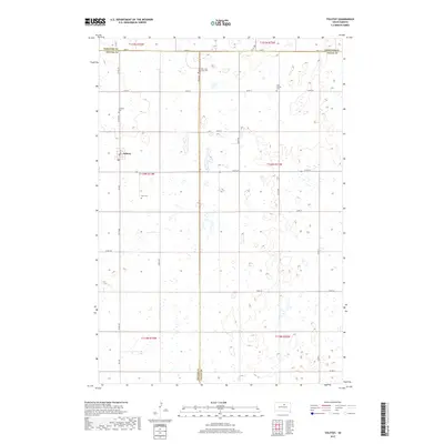
2017 Map of Tolstoy
USGS Topo · Published 2017About this map
Tolstoy remains the central settlement in this rural pocket of South Dakota, where the town plan centers on Main St near the intersection of several section-line roads. The landscape is defined by the three-way junction of Potter, Edmunds, and Faulk counties, with the terrain marked by numerous small wetlands and basins typical of the glaciated prairie. For family historians, the sheet is particularly valuable for its recording of isolated rural burial grounds including Zion Cem, Saint Jacobs Cem, Lutheran Cem, and the Seventh - Day Adventist Cem. The survey preserves the local road network, from major connectors like Co Rd 162 to more remote stretches of 154th St, reflecting the persistent grid of the Public Land Survey System across the plains.
Find a feature on this map
32 named features on this map. Tap any name to fly to it.
Don’t see what you’re looking for? This feature index may not catch every label — zoom into the map to look around manually.
Map Details
Editions of this 2017 Tolstoy Map
This is the sole edition of this map. No revisions or reprints were ever made.
Other maps of this area

1950 · Onaka
USGS Topo · 1:24,000

1952 · Onaka
USGS Topo · 1:24,000

1952 · Onaka SW
USGS Topo · 1:24,000

1954 · Aberdeen
USGS Topo · 1:250,000

1956 · Aberdeen
USGS Topo · 1:250,000

1965 · Onaka
USGS Topo · 1:24,000

1974 · Bowdle SE
USGS Topo · 1:24,000

1974 · Roscoe SW
USGS Topo · 1:24,000
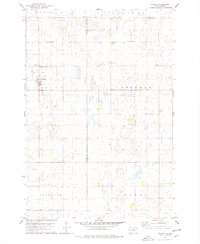
1978 · Tolstoy
USGS Topo · 1:24,000

1978 · Seneca NW
USGS Topo · 1:24,000