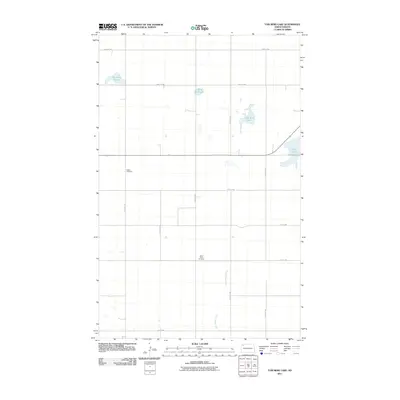
2011 Map of Tom Berg Lake
USGS Topo · Published 2011About this map
Bethel Cemetery and Saint Pauls Cemetery stand as quiet markers of the rural community in Williams County during the early twenty-first century. This portion of the North Dakota prairie is defined by its glaciated hydrology, featuring numerous seasonal and permanent water bodies like Tom Berg Lake and several prominent sloughs. The landscape is organized by a strict section-line road grid, including routes such as 115th Ave NW and 83rd St NW, which facilitate movement between scattered homesteads and agricultural tracts. The Little Muddy River meanders through the southern portion of the quadrangle, serving as a primary drainage for the surrounding terrain. Landforms like Peterson Slough, Berg Slough, and Helle Slough illustrate the natural depressions that characterize this region's topography, often providing critical habitat and water storage within the otherwise heavily managed section lines of the Northern Plains.
Find a feature on this map
20 named features on this map. Tap any name to fly to it.
Don’t see what you’re looking for? This feature index may not catch every label — zoom into the map to look around manually.
Map Details
Editions of this 2011 Tom Berg Lake Map
This is the sole edition of this map. No revisions or reprints were ever made.
Other maps of this area

1911 · Ray
USGS Topo · 1:125,000

1948 · Alamo N.E.
USGS Topo · 1:24,000

1953 · Williston
USGS Topo · 1:250,000

1957 · Williston
USGS Topo · 1:250,000

1974 · Wildrose
USGS Topo · 1:24,000

1974 · Tom Berg Lake
USGS Topo · 1:24,000

1974 · Hamlet
USGS Topo · 1:24,000

1974 · Big Meadow
USGS Topo · 1:24,000

1978 · Corinth
USGS Topo · 1:24,000

1978 · Temple
USGS Topo · 1:24,000